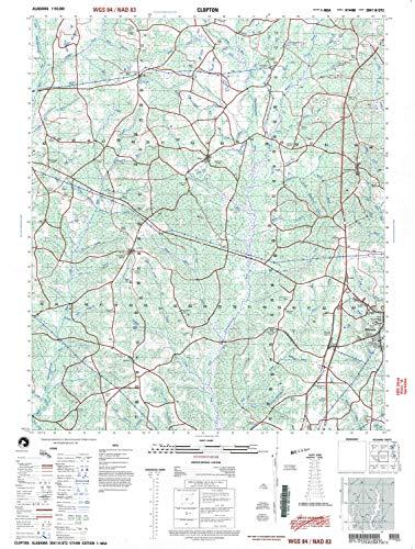
Description
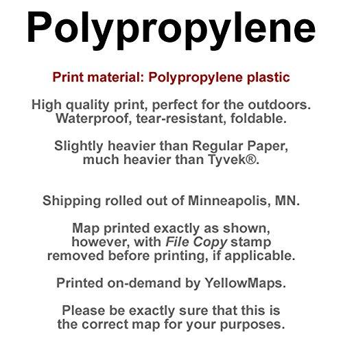
- Printed on Polypropylene (plastic)
- USGS topographic map of Clopton, AL, at 1:50000 scale. Heavier material. Waterproof. Tear-resistant. Foldable. Perfect for the outdoors.
- Cities, towns, villages: Abbeville,Bertha,Richards Crossroads,Edgefield,Clopton,Graball,Texasville,Tew,Lawrenceville,Snells Crossroads,Bells Crossroads,Spio (historical),Black Gum Corners (historical),Edwin,Barefield Crossroads
- Islands: Consult topo map preview for visible islands.
- Parks and forests: National Parks, National Forests, etc. Please preview map image for specifics.
Printed on Polypropylene