YellowMaps YellowMaps Lake Geneva WI topo map, 1:24000 Scale, 7.5 X 7.5 Minute, Historical, 1960, Updated 1962, 27.94 x 20.54 in - Tyvek
YellowMaps

YellowMaps Lake Geneva WI topo map, 1:24000 Scale, 7.5 X 7.5 Minute, Historical, 1960, Updated 1962, 27.94 x 20.54 in - Tyvek

Pseudo Checkbox Icon
Order within 0 hours and 0 minutes to get between -
Buying Bulk?
Delivery Truck IconTracked Shipping on All Orders Secure Payments
Headphones Icon 24/7 Customer SupportReturn Product Arrow Icon14 Days Returns
Description
  • Printed on Tyvek® (synthetic)
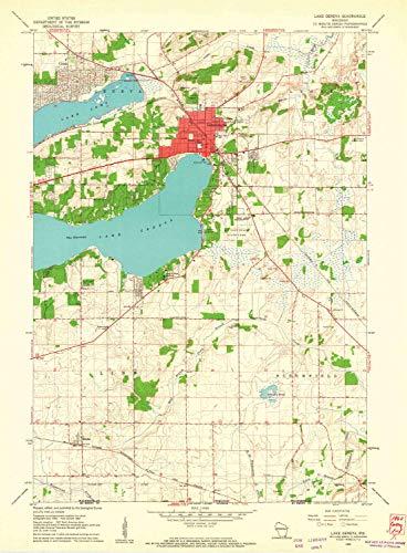
  • USGS topographic map of Lake Geneva, WI, at 1:24000 scale. Lighter material. Waterproof. Tear-resistant. Foldable. Very durable. Perfect for backpacking and the outdoors.
  • Cities, towns, villages: Zenda,Lake Geneva,Pioneer Estates,Shady Side (historical),Como
  • Mountains: High elevation topographical features like high summits and peaks.
  • Valleys: Low elevation topographic features such as flatlands, river valleys, and canyons.


Printed on Tyvek