
Description
- Printed on Tyvek® (synthetic)
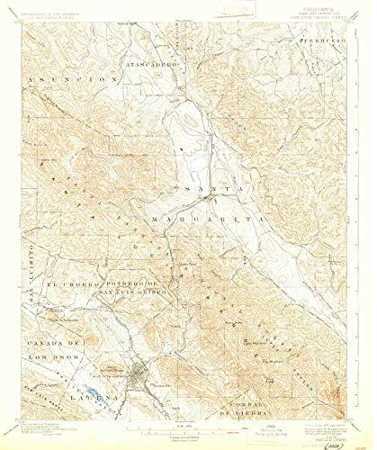
- USGS topographic map of San Luis Obispo, CA, at 1:62500 scale. Lighter material. Waterproof. Tear-resistant. Foldable. Very durable. Perfect for backpacking and the outdoors.
- Cities, towns, villages: Garden Farms,Santa Margarita,Cushing,Serrano,Eaglet (historical),Chorro,San Luis Obispo,Dove (historical),Poloma (historical),Henry,Thyle,Goldtree,Atascadero
- Mountains: Mount Lowe,Lopez Mountain,Cerro Alto,Chalk Hill,Coyote Point,Bald Hill,Terrace Hill,Bishop Peak,Cerro San Luis Obispo,Pine Mountain,Cerro Romualdo,Frog Pond Mountain,Chumash Peak,Black Butte
- Valleys: Reservoir Canyon,Sycamore Canyon,Long Valley,Rocky Canyon,Oil Well Canyon,Calf Canyon,Prefumo Canyon,Kathleen Valley,Fern Canyon,Hampton Canyon,Water Canyon,Big Falls Canyon,Sycamore Canyon
Printed on Tyvek